
Geospatial Data and Marketing
According to sciencedirect.com, geospatial data “is data about objects, events, or phenomena that have a location on the surface of the earth.” Geospatial data always contains at least two points: information about the location and a minimum of one attribute. The question becomes: how can we take geospatial data and apply it to marketing and branding efforts? Traditional marketing data has keyed in on static demographics. Modern data analysis allows groups like Clock Tower Insight to gather highly detailed information and present data analysis in ways that are specific to locations, key attributes, dynamic demographics, and much more.
With this in mind, today we will be defining geospatial data, identifying the relationship between geospatial data and drive time analysis, exploring the value of site analyses and geospatial data, and finally how brands can build marketing strategies around geospatial data.
What is Geospatial Data?

As we defined in the introduction, geospatial data is defined as any data set that involves both a location and another set of attributes. When we talk about geospatial data and marketing, that definition can get slightly more specific. Examples of geospatial data points can include one or more of the following:
- A location: This is a must for geospatial data analysis. Traditional geospatial data is defined by longitude and latitude, but marketing geospatial data might be defined by zip code, voting center, or more advanced metrics like drive time to and from certain locations.
- A key demographic or demographics: The age, gender, marital status, income level, etc. are all still key points for many forms of geospatial data.
- Customer behaviors: Is this individual a current customer of store x? How much did this individual spend on consumer goods over the past 5 years? These types of data points are valuable for geospatial analysis.
- Customer details: Beyond all of the above, actionable geospatial data will often contain the nuts and bolts customer data such as full name, address, employer information, email address, phone number, etc.
Drive Time Analysis and Geospatial Data
Drive time analytics improve on traditional geospatial data by replacing static location points with dynamic, usable information. Let’s consider geospatial data for a site analysis. Typical site analysis would start with an epicenter or epicenters and pick a radius to measure from those point(s). The result would be a circle or set of circles on a map, which would then be used to determine your dataset of interest. The problem here is that these circles are arbitrarily drawn.
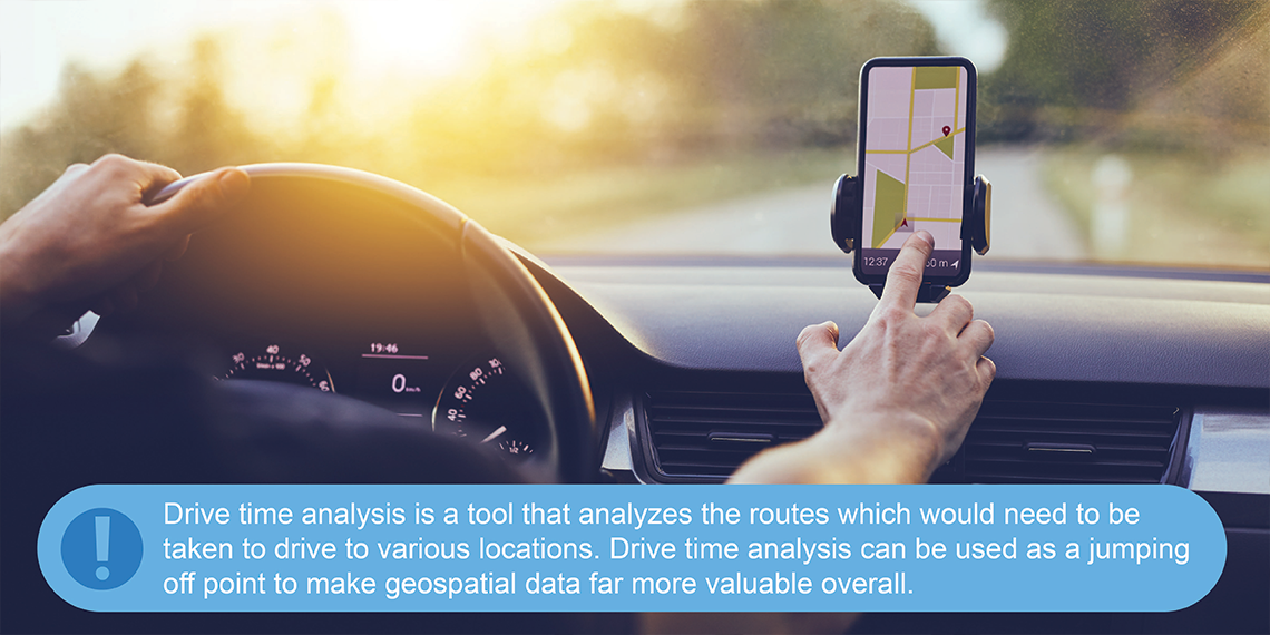
Instead, drive time analysis is almost exactly what it sounds like: a tool that analyzes the routes which would need to be taken to drive to various locations. Businesses will most likely be using a retail location or office location as their central hub for drive time analysis. From there, drive time analysis can be used as a jumping off point to make geospatial data far more valuable overall.
The Value of Site Analysis and Geospatial Data

Geospatial analysis is fast becoming the standard for market analyses. So what exactly about geospatial data analyses is so valuable to companies? That can be best understood by understanding the current state of information and data analysis overall. The following is true:
- Information is as cheap and accessible as ever. Whether or not we’d like to admit it, many of the data points mentioned previously in this article including personal information, spending habits, and even browsing history, are all available to the willing and able. The ability to parse this sea of information is what makes data valuable.
- Consumers expect targeted marketing materials. Speaking of seas of information, there is no question that potential customers are more jaded against marketing materials than ever before. If you have 1,000’s of unopened emails, you are just like your customers who are very prejudiced about where they give their attention. Highly curated and targeted marketing materials make all the difference in today’s environment.
Geospatial data and drive time analysis take both of these truths and run with them. Instead of simply dumping data into a formula and spitting out x, y, and z results, geospatial data marries big data to focus, usable results.
Brands can then turn these geospatial data analysis results to create highly focused and curated marketing campaigns. These campaigns are more likely to yield positive results due to the fact that they can be tailored to each individual customer groups’ behaviors and the subset of customers are the most likely to be potential customers based on geospatial data points.
Clock Tower Insight Offers Geospatial and Drive Time Analysis
Clock Tower Insight is proud to work with a wide range of B2C and B2B industries, including retail, CPG, food service, and advertising organizations. We believe in using powerful, cutting edge research to offer brand-specific insights. With this insight, we work with brands to turn the data into actionable information, and eventually into business growth. Our services include brand positioning, customer experience management, and much more.
Learn more about how Clock Tower Insight can help your business today.